
Drone real estate photography in DC, Virginia & Maryland
Show buyers the full picture — lot size, location, surroundings — with professional aerial photos that make your listing impossible to scroll past.
5.0 on Google · 64 reviews

Why agents use drone photography
Aerial photos aren't optional anymore — they're expected.
61%
of realtors already use drones
83%
of sellers prefer agents with drone photos
68%
faster sales with aerial imagery
Ground Photos Miss the Bigger Picture
Interior shots and curb appeal only go so far. Buyers want to see lot size, neighborhood context, and surroundings before they book a showing.
- Listings blend in — without aerial shots, your property looks like every other one in the feed.
- Key features stay hidden — a ground photo can't show 5 acres, a lake view, or proximity to top schools.
- Your competitors already fly — 61% of agents use drones. Not having aerial photos puts you behind.
One Aerial Shot Says More Than Ten Ground Photos
Drone photography reveals what ground-level cameras can't — the full property, its surroundings, and the lifestyle it offers. That context is what turns scrollers into serious buyers.
Especially effective for:
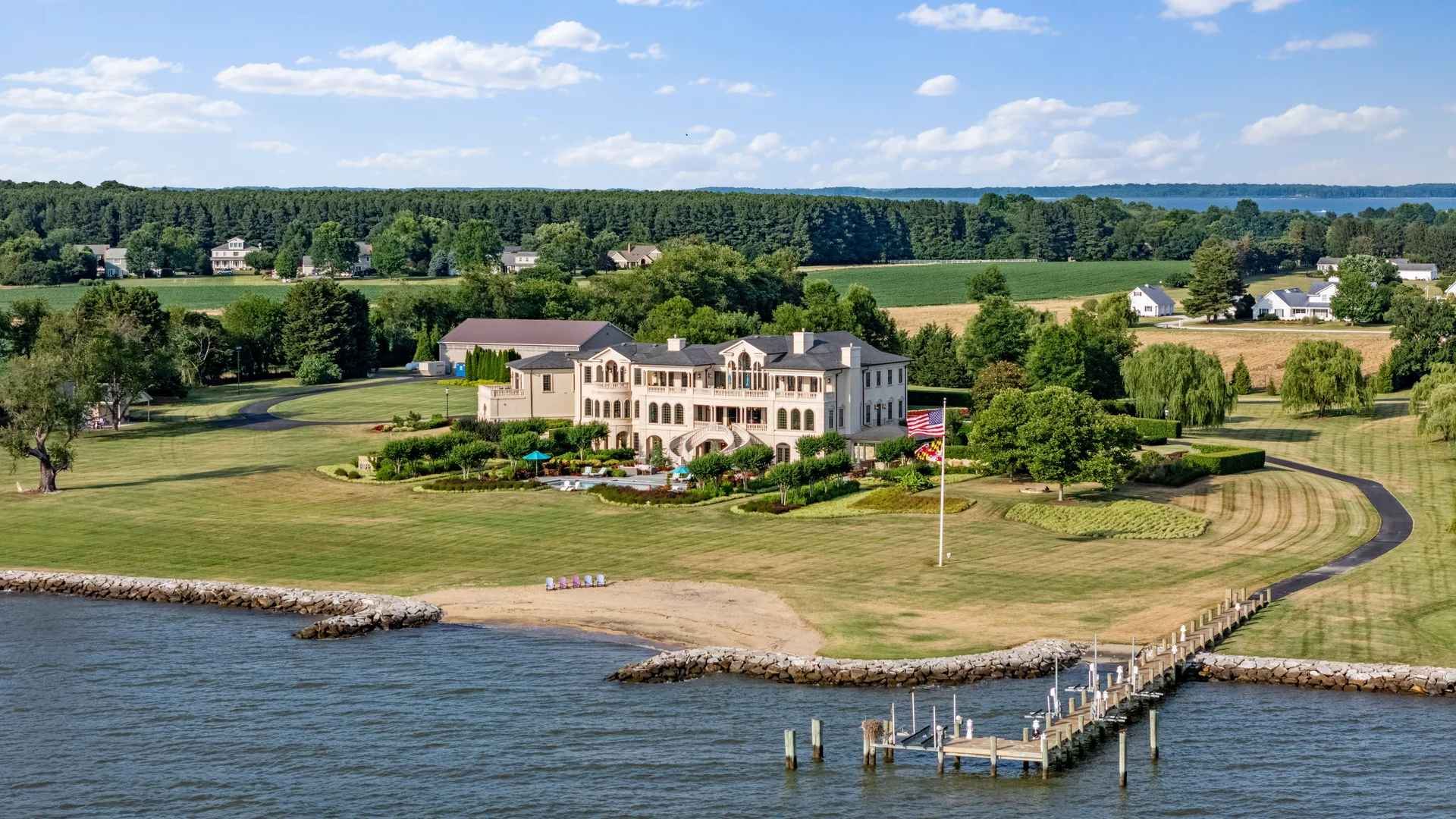
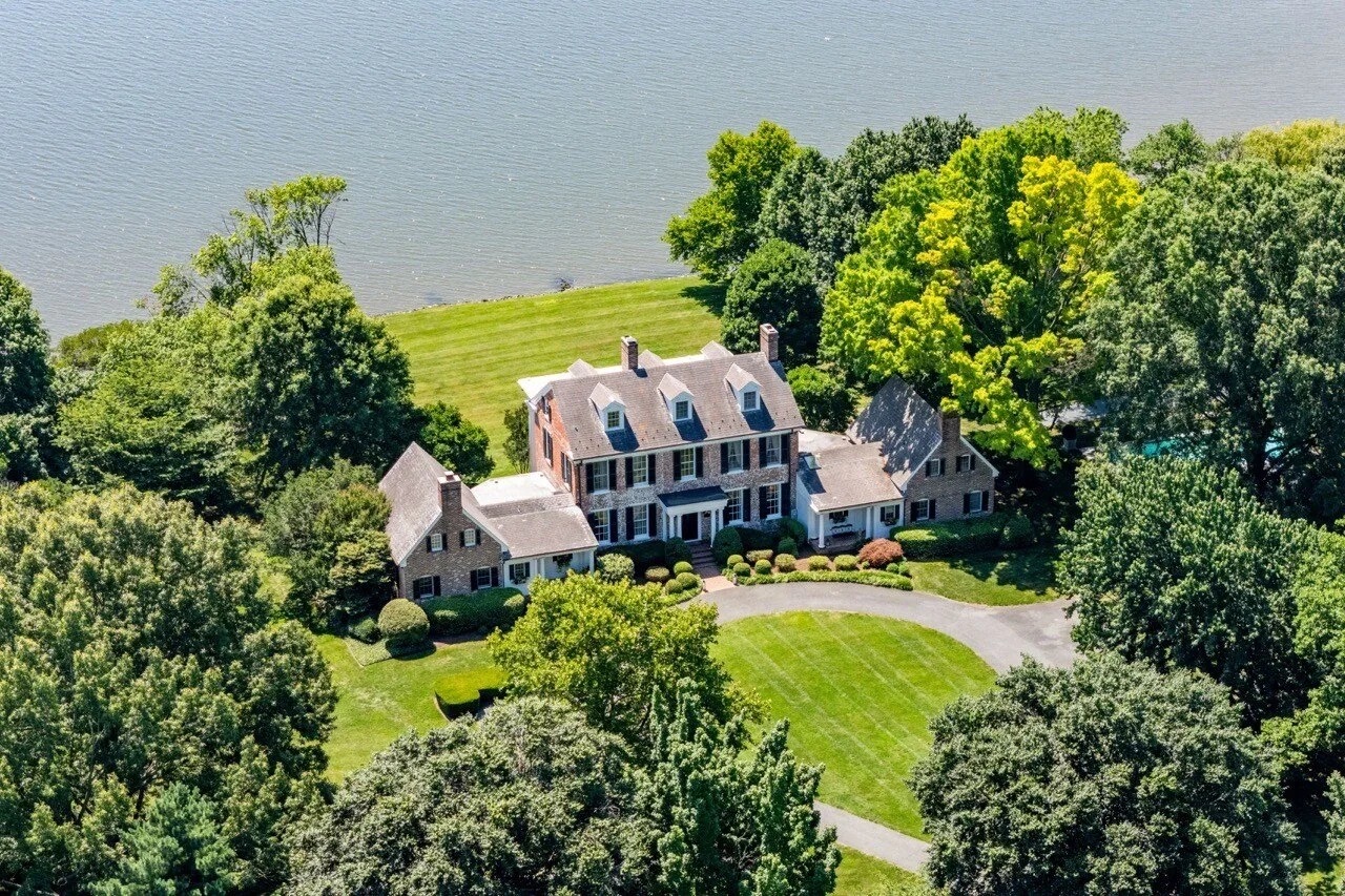
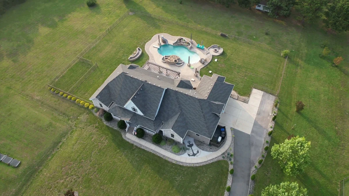
- Luxury & scenic homes — sweeping views, large grounds, waterfront access
- Large lots & acreage — show the full scale in a single frame
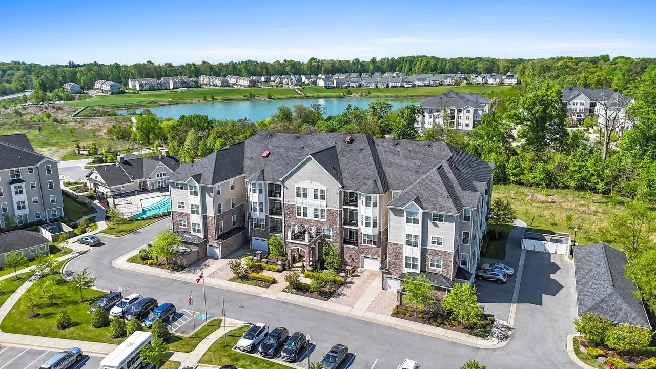
- Prime locations — highlight proximity to parks, transit, schools, and downtown
Serving agents across Arlington, Alexandria, Fairfax, McLean, Bethesda, Silver Spring, and Rockville.
What you get
Three formats, one shoot — everything your listing needs from the air.
High-Resolution Aerial Photos
Sharp, print-ready images from above — perfect for MLS, flyers, and social media.
4K Aerial Video
Smooth cinematic flyovers that show the property, street, and neighborhood in motion.
Panoramic Shots
360-degree views that show buyers the full surroundings in a single sweeping frame.
Drone Video Portfolio
Real shoots, real properties — click to play.
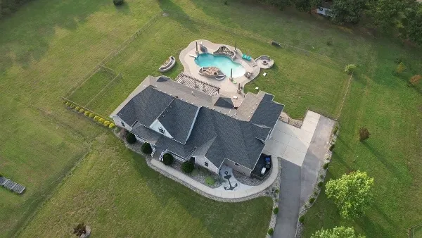 0:45
0:45 4K Aerial Property Tour
Northern Virginia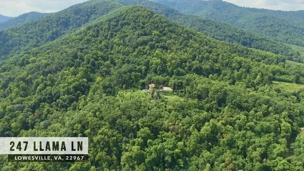 1:30
1:30 Scenic Drone Tour
Lowesville, VA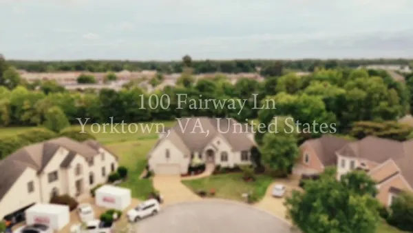 1:51
1:51 Drone Intro & House Walkthrough
Yorktown, VA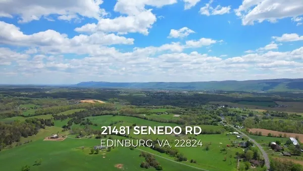 1:32
1:32 Expansive Property Tour
Edinburg, VAAerial Portfolio
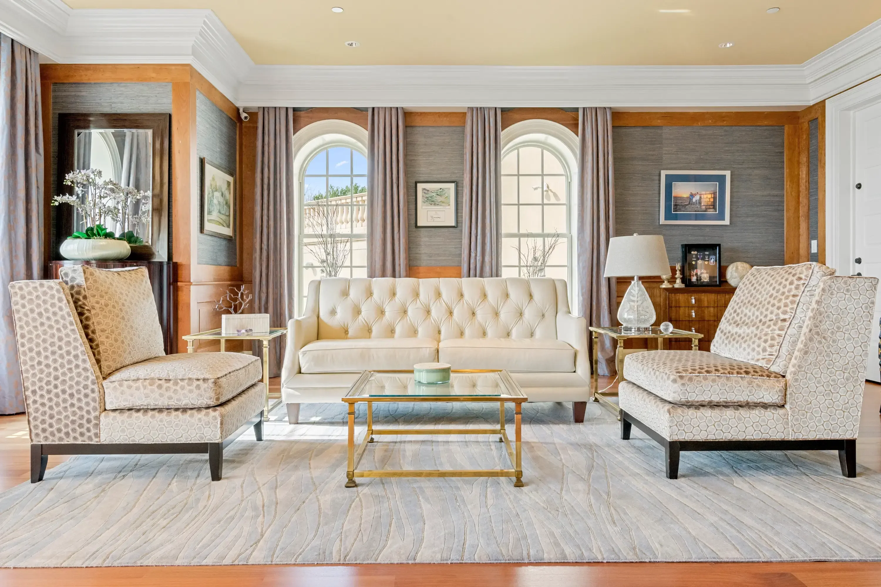
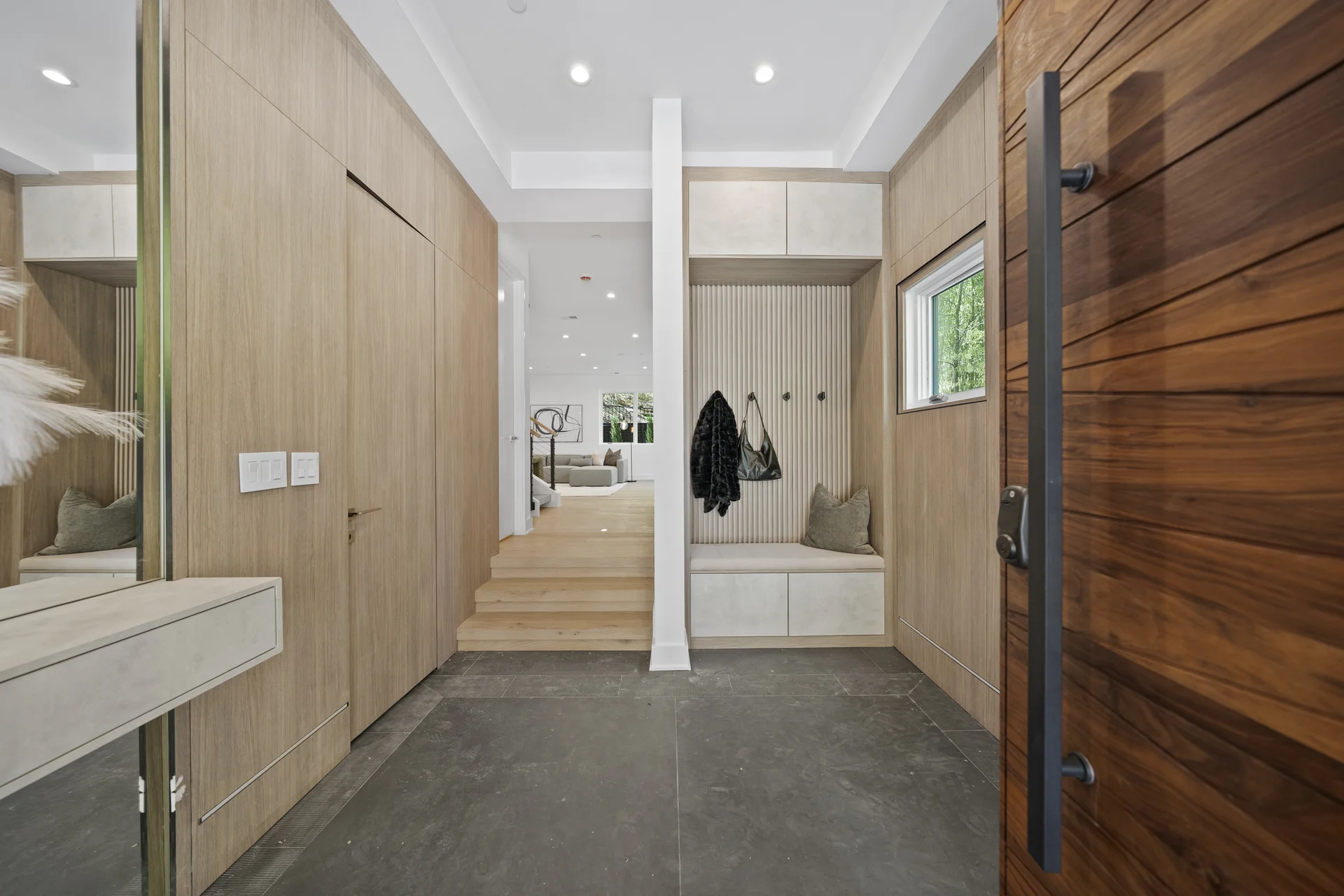
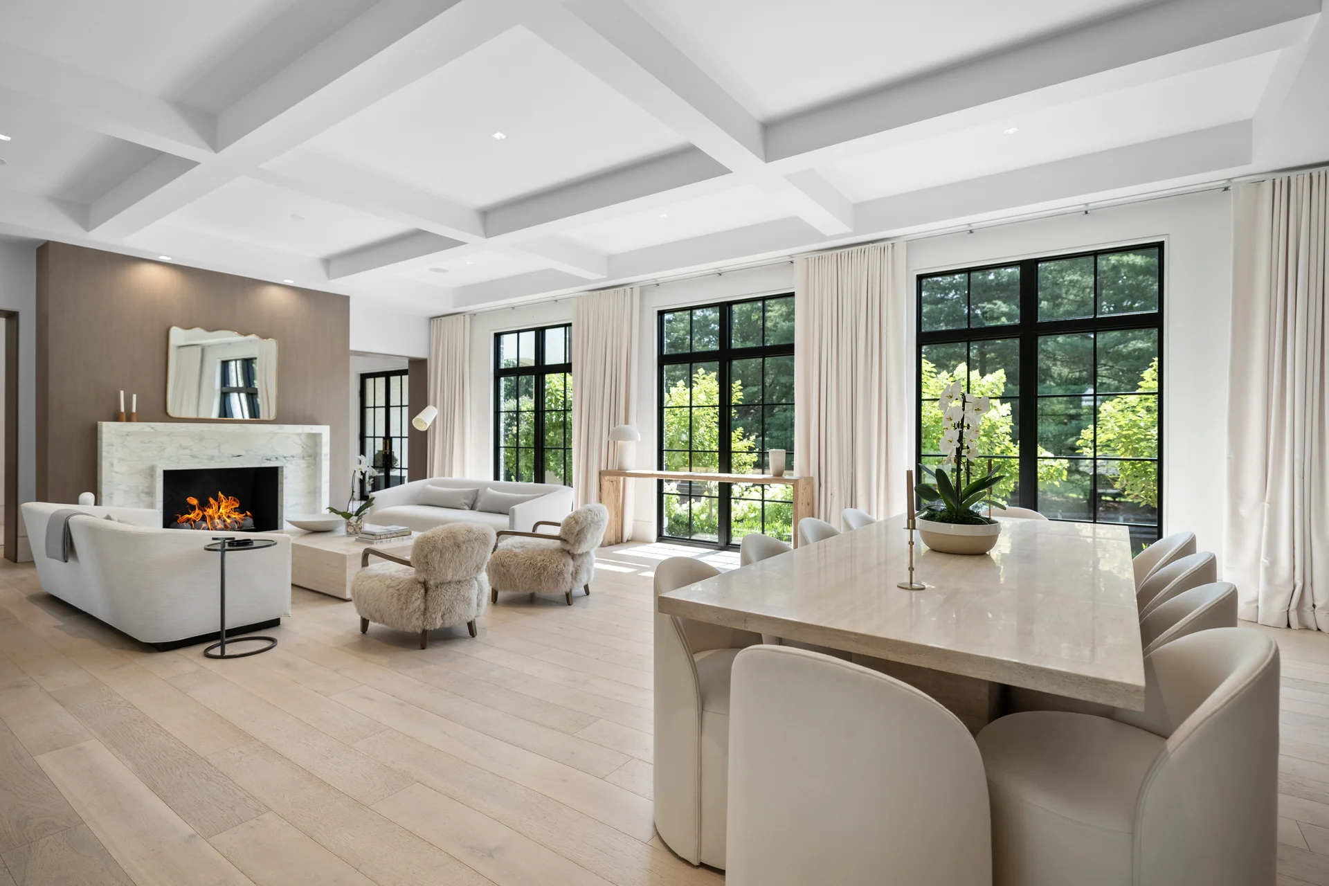
Recent drone shoots across the DMV area.
How it works
Three steps from booking to delivery.
Book & Brief
Pick a date online. Tell us about the property so we can plan the best angles and flight time.
We Fly & Shoot
Our FAA-certified pilot captures aerial photos and video on-site in about 30 minutes.
Edit & Deliver
Professionally color-corrected photos and video delivered to your inbox within 48 hours, MLS-ready.
Drone Photography Pricing
All packages include editing, FAA-certified pilot, and 48-hour delivery.
5 Drone Photos
Perfect for adding aerial context to any listing
- 5 high-resolution aerial photos
- Online gallery & download link
20 Drone Photos
Comprehensive aerial coverage for larger properties
- 20 high-resolution aerial photos
- Multiple angles & elevations
- Panoramic aerial shots
20 Photos + 2 Min Video
Complete aerial package with photos and cinematic video
- 20 high-resolution aerial photos
- 2-minute cinematic drone video
- Licensed background music
Included with every option
- Professional editing & color correction
- FAA-certified licensed pilot
- Delivered within 48 hours
- MLS-ready files + web-optimized
What Our Clients Say
Real reviews from agents and homeowners we've worked with.
Superb photos that capture the beauty and essence of our newly renovated house. Nakita is a true professional from first communication to final product. I feel lucky to have found him. Outstanding work done on time and super quality. Many thanks.
System in business is efficient in capturing and delivering his services. I am very pleased with the whole system from scheduling, to the end result of floor plans and video! The custom service selection fit perfectly to my needs. The variety of choices allows to choose what each individual property needs. Will use and recommend to others.
I am thrilled to have the opportunity to work with UMedia! Their dedication and professionalism shine through in every photography and I couldn't be happier with the quality of their work. I highly recommend their services.
Common Questions
Quick answers about drone photography.
Why is drone photography important for real estate listings?
What types of properties benefit from drone photography?
- Luxury homes & large estates
- Waterfront & scenic properties
- Commercial real estate & developments
- Farmland & acreage listings
- New construction projects
What is included in your drone photography service?
- High-resolution aerial photos
- Cinematic 4K drone videos
- 360-degree panoramic views
- Drone footage for social media & marketing
Is drone photography allowed everywhere?
Do you offer drone videography along with photography?
How long does a drone photography session take?
How soon will I receive my drone photos and videos?
Can drone footage be used for social media and MLS listings?
How much does drone photography cost?
How do I book a drone photography session?
What if the weather is bad on the day of the shoot?
What other real estate media services do you offer?
Serving the DC, Maryland & Virginia area
Ready to elevate your listings with aerial photography?
Professional drone photography across the DMV. FAA Part 107 licensed pilots, 48-hour delivery, MLS-ready files.